

- Installs
- 10,000,000+
- Ratings
- 358,714
- Price
- Free
- Developer
- Citymapper Limited
Screenshots



Overview
Citymapper is a good swap for Google Maps if your city is covered and most of your trips are by bus, train, walking, bike or scooter. It puts those options side by side on one screen and gives step-by-step GO guidance for them. It is the wrong tool if you want car navigation or travel regularly outside its supported cities, and its offline mode is narrower than downloading a map region.
Where Citymapper works, and how to check your city
Coverage is the first thing to settle. Citymapper focuses on major metro areas in the US and abroad, which means plenty of large cities are served and plenty of smaller ones are not. The app sets your current city from your location, and you can add a destination city manually before a trip to plan and save routes ahead of time. The supported list sits in the app and at citymapper.com/cities, so look there before installing rather than assuming your town is included.
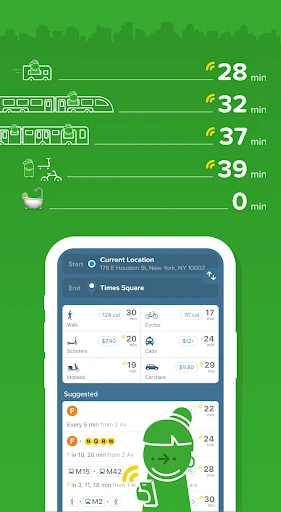
Comparing bus, train, bike and walking in one route
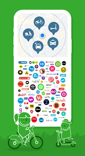
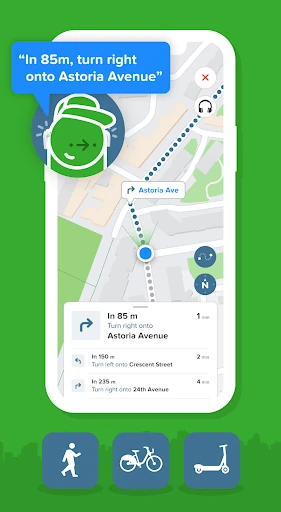
This is the reason to switch. Enter a destination and Citymapper lays out transit, walking, cycling, scooter and cab or ride-share options together, so you can weigh a two-stop subway ride against a twenty-minute walk against a shared bike without opening four apps. For shared modes it shows things that matter in the moment: cab fares for comparison, charge levels on nearby e-bikes and e-scooters, and no-parking zones where they apply. If a scooter has 8% battery, you know to pick another one.
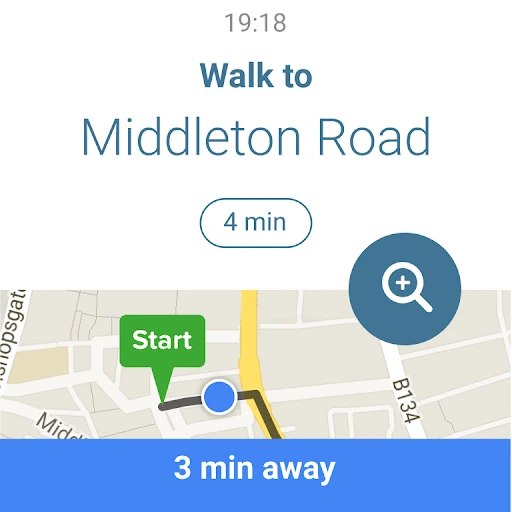
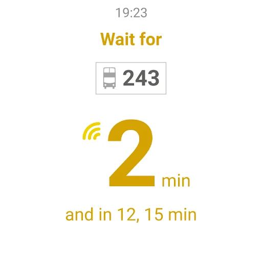
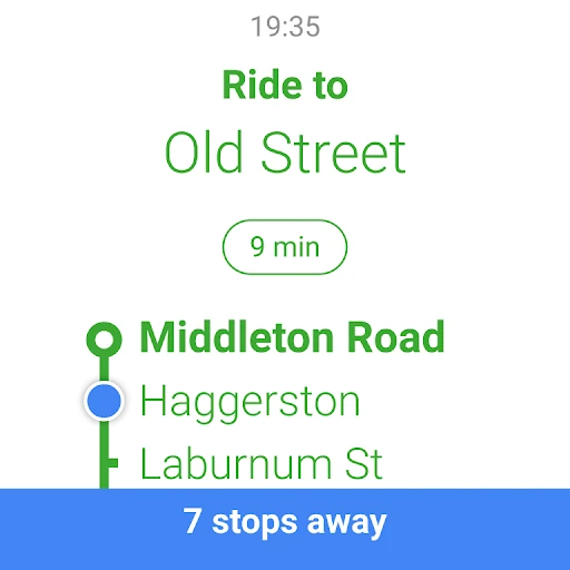
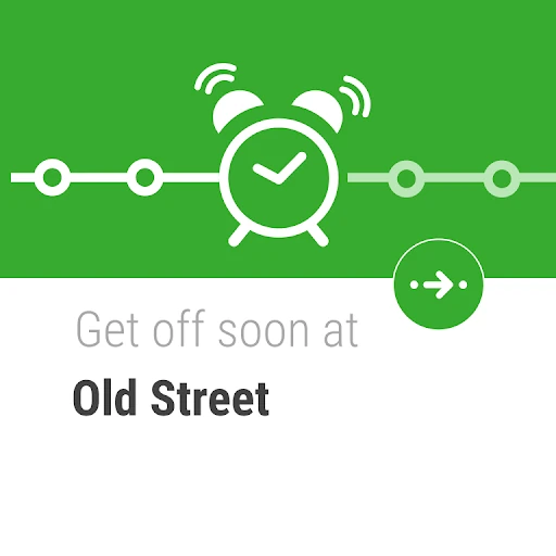
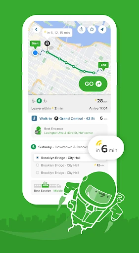
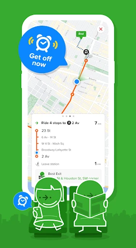
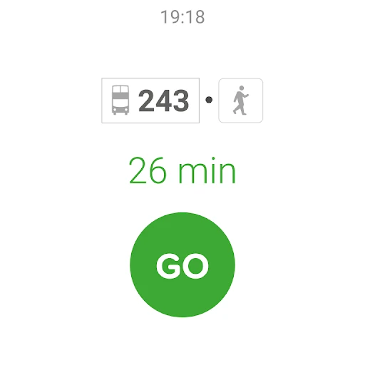
The GO button turns a chosen route into turn-by-turn directions for transit, walking, cycling and scooters. During a transit trip it shows live wait times and ETAs, which train car to board, which exit to use at the station, and an alert when your stop is coming up. For someone changing lines in an unfamiliar city, the carriage and exit guidance saves real time.
Treat it as transit-first, though. It is not a driving navigator, and if your day is mostly behind the wheel, a general maps app serves you better. The best fit is the everyday mixed-mode trip: a commute that combines a bus and a walk, an errand that might be a bike or a train depending on the weather.
Offline maps and saved journeys: what still works without signal
Plan a journey and star it, and the saved trip appears on the home screen for offline use. The Android listing also names static network maps available offline, including the TfL Underground map and the Transport for Greater Manchester and West Midlands maps; that is not the same as every city map being downloadable. Scheduled Tube and Metro departures can be checked offline in Near, the Everything Map, GO and SmartCommute, and an offline bar gives shortcuts to the map and nearby departures.
What you lose is live planning. Real-time arrival data varies by city and line, and when a time has no live marker the app is showing timetable data rather than tracking the vehicle. Plan around saved journeys and static maps, not live rerouting.
Live disruption alerts for a regular commute
Subscribe to a favourite bus, train, subway or ferry line and Citymapper pushes disruption and status alerts, with daily updates on the lock screen. Save Home and Work and the repeat commute becomes a two-tap check. How useful this is depends on live-data coverage for your specific line; where agencies publish good data, alternative routes are genuinely helpful at rush hour.
In-app tickets and step-free routing: useful extras with limited coverage
Ticket buying is a pilot in a few places, such as the UK West Midlands and Miami, so do not expect to pay for a journey in-app everywhere. Step-free routes cover more than 20 regions and are still expanding. GO trip details also carry over to a Wear OS watch, and live-trip sharing lets someone follow your progress to time a meeting.
If your city is on the list and your trips lean on transit, walking or shared bikes and scooters, Citymapper earns its place on the home screen. If you need driving directions or often travel where it has no coverage, keep a general maps app as the default and use this one when you are in a city it knows.